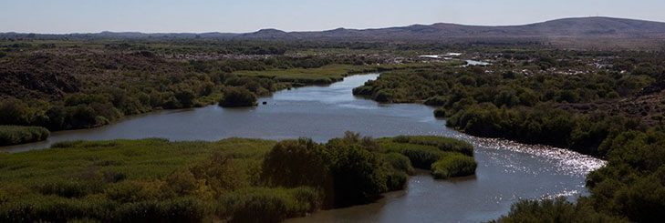
Welcome to the first surface water quantity report of the Orange-Senqu River Commission (ORASECOM), for the hydrological year 2020-2021. For Read more
Categories
Latest Submission
2020-2021 Orange-Senqu Surface Water Quantity Synoptic Analysis
Khakea-Bray Transboundary Dolomite Aquifer Recharge Assessment
Documentation and Data: A read-only folder structure of all reports, data, and models related to the STAS can be accessed Read more
Improving Groundwater Knowledge in Selected Transboundary Aquifers
Documentation and Data: A read-only folder structure of all reports, data, and models related to this study can be accessed Read more
Stampriet Transboundary Aquifer System (STAS) – Governance of Groundwater Resources in Transboundary Aquifers (GGRETA) Project
Documentation: A read-only folder structure of all reports, data, and models related to the STAS can be accessed from here: Read more

- WIS > Surface Water Resources > Irrigation Water Demand Management (WP6)
Irrigation Water Demand Management (WP6)
- Author:Bennie Haasbroek
- Post date:27 January, 2014
- Categories:Surface Water Resources,Water Use
Objectives
The overall objective of the work package was to attain an overall understanding of how better management practices could reduce water demand in the irrigation sector in the Orange-Senqu River Basin, and to make recommendations on improved water demand management in this sector in the future. In order to reach this goal a number of sub-objectives were identified in the terms of reference:
- Building up of a GIS Database irrigation inventory through the collection and collation of reliable and detailed information about the use of irrigation water by crops and crop yields
- Assessment of various instruments for enhancing productive use of water, e.g. water markets and their operation in a local as well as trans-boundary context
- Detailing the best management practices for irrigation in the basin;
- Selection and evaluation of demonstration projects of best practices at suitable sites;
Main Activities
- Identify potential pitfalls related to the practical implementation of results of previous studies and experiences in the basin;
- Document best management practices for irrigation in the basin;
- Consider and assess various instruments that support water conservation and demand management, also in a transboundary context.
- Hold stakeholder workshops
- Finalise and evaluate representative, best-practice demonstration sites; and make recommendations on how the generalisation of best management practices could improve water conservation and water demand management in the sector
- Establish a standard methodology for collecting data on irrigation water applied to crops, water use by crops and crop yields;
- Building up of a GIS Database irrigation inventory through the collection and collation of reliable and detailed information about the use of irrigation water by crops and crop yields
- Development of an interactive irrigation classification tool for investigating the irrigation GIS database
- Development of an interactive (web-based) irrigation scenario generation tool
The last two activities were not a part of the initial terms of reference, but as work progressed, it became evident that their inclusion would be highly useful.
Conclusions
Report 011/2011 drew numerous conclusions on the importance and benefit of best
management practices in the basin. One issue which came up repeatedly was the importance of measuring water usage at the farm and distributer level. This step is fundamental to successful implementation of a whole range of practices which can lead to improved water conservation and water demand. Directly linked to the issue of measurement is how water is paid for. Once paid for volumetrically, a whole range of incentives can be put in place to encourage farmers to use their allocations of water more efficiently.
Another important conclusion was that although best management practices can be individually identified and described, they can only work properly if a holistic approach to scheme and farm management is followed allowing the full benefits of each best management practice to be realised.
Finally, and perhaps most importantly, within the South African context, there was generally
agreement that the South African Water Act and its provisions for water user associations and water management plan provided an excellent framework for water conservation and water demand management to take place.
The establishment of the irrigation database has shown that significant changes in irrigation
practices are taking place and that additional areas are being put under irrigation.
Recommendations
Implementation of the South African Water Act and its provisions for water user associations
and catchment management agencies should be accelerated and supported. There are
valuable lessons from this framework which could also be valuable to the other basin states.
The need for improved irrigation water measurement at both the distributor and irrigator level should be encouraged and become mandatory as far as possible. It is recommended that an investigation into the extent and cost of this need should be carried out and funding options identified.
ORASECOM should investigate the possibility of assisting Water User Associations in the
establishing of an appropriate GIS-type data base of irrigation lands, cropping patterns,
irrigation, requirements etc (including the training of personnel) to improve water management and water use. The information gathered would be used at the Water User Association level and could also be used to improve estimates of irrigation taking place basin-wide.
The Best Practice demonstration sites (for both irrigation water suppliers and irrigators) should be used as a means of spreading the news about irrigation best practice efficiency.
It is recommended that the database of irrigated areas should be updated on an annual basis and that the remote sensing classification tools developed in this project, supplemented by Water user Association GIS ground truth information.
Source:
Support to Phase 2 of the ORASECOM Basin-wide Integrated Water Resources Management Plan
Funding Organisation(s):
Date:
2011
Documents
Data
Satellite imagery and topographical maps
GIS Data (including shapefile of all irrigated fields in the Orange-Senqu)


Comments
You must be logged in to post a comment.