
Maps are for display purposes only and must not be used for navigation
« prev | return to gallery | next »
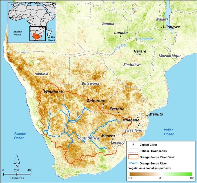
Satellite-based measurements of vegetation as an indicator of drought from 2007 (see description below).
Satellite-based measurements of vegetation as an indicator of drought from 2007 (see description below).
NASA GIMMS Group at Goddard Space Flight Center 2007