
Maps are for display purposes only and must not be used for navigation
« prev | return to gallery | next »
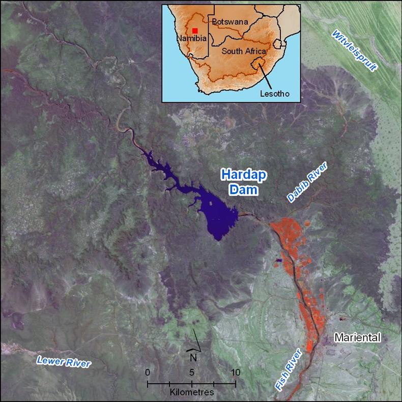
Irrigated areas downstream of Hardap Dam are indicated in red.
Irrigated areas downstream of Hardap Dam are indicated in red.
Hatfield 2009