
Page 1 of 14 next »
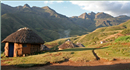 The highlands of Lesotho, the source of the Orange-Senqu River. Source:©iStockphoto/Coenders 2006 ( click to enlarge ) |
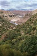
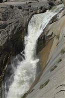 Augrabies Falls, on the lower reaches of the Orange-Senqu River, South Africa. Source:Vogel 2009 ( click to enlarge ) |
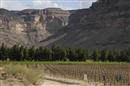
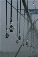 Irrigated agriculture is the single largest water user in the basin. Source:Vogel 2009 ( click to enlarge ) |
 Golden Gate Park, South Africa. Source:Hughes 2004 ( click to enlarge ) |
Longitudinal profile of the main-stem of the Orange-Senqu River. Source:Hatfield 2009 ( click to enlarge ) |
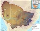 Map of relief in the Orange-Senqu River basin. Source:Source: SRTM elevation data - CGIAR 2008 ( click to enlarge ) |
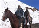
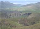
 Makhaleng River Gorges in the Highlands of Lesotho. Source:Pecher 2003 ( click to enlarge ) |
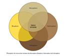 Pedosphere, the intersection between the Atmosphere, Biosphere, Hydrosphere and Lithosphere. Source:after Noorallah 2009; Mattson 1938 ( click to enlarge ) |
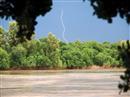 Lightning during a storm on the Lower Orange River. Source:Kruchem 2011 ( click to enlarge ) |
 The climate of Orange-Senqu River basin varies from snow in the winter in Lesotho... Source:Lesotho Water Commission 2008 ( click to enlarge ) |
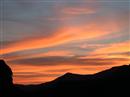
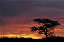 Sunset in the Kalahari. Source:iStockphoto/Sproetniek 2009 ( click to enlarge ) |
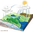 The Hydrologic (Water) Cycle. Source:Federal Interagency Stream Restoration Working Group 1998 ( click to enlarge ) |
 The climate of the Orange-Senqu River basin is highly variable. Source:Vogel 2009 ( click to enlarge ) |
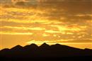
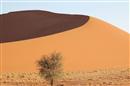 An example of a B climate type - Sossusvlei Namibia. Source:Huber 2008 ( click to enlarge ) |
 An example of a C climate type - Lesotho highlands. Source:Lesotho Water Commission 2003 ( click to enlarge ) |
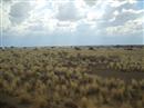
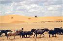 Southern Botswana receives very little annual rainfall. Source:Department of Water Affairs Botswana 2001 ( click to enlarge ) |
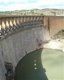 Dams such as Vanderkloof can provide a buffer in drought conditions. Source:Pyke 2003 ( click to enlarge ) |
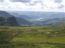
 The altitude and mountains of the Lesotho Highlands ensure a temperate climate. Source:Lesotho Water Commission 2009 ( click to enlarge ) |
 The arid Nama Karoo. Source:DRFN 2004 ( click to enlarge ) |
 Climate change will alter the availability of water. Source:Vogel 2009 ( click to enlarge ) |
Page 1 of 14 next »